

46505331 / 55505945
Unterrichten mit Google Earth
Entwicklungen, Messungen, Analysen
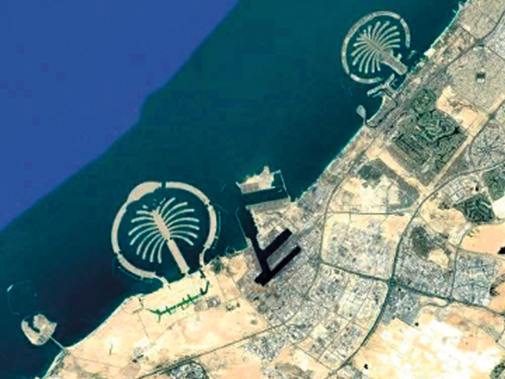
Die kostenlos verwendbare Software Google Earth ist ein hervorragendes Werkzeug für den Geographie- bzw. Erdkundeunterricht. Per Mausklick lässt sich jeder Ort der Erde erreichen, über die Zoomfunktion kann man Satellitenbilder von fast jedem Ort der Erde sehen. Mit dem Streetview-Modus befindet man sich plötzlich am Time Square in New York und springt von dort auf den Münchner Marienplatz. Mit zahlreichen Funktionen und Extraebenen lassen sich Gebiete hervorheben, Entwicklungen im Zeitverlauf sichtbar machen und damit den Schülerinnen und Schülern hautnah geographische Strukturen vermitteln.
Play trailer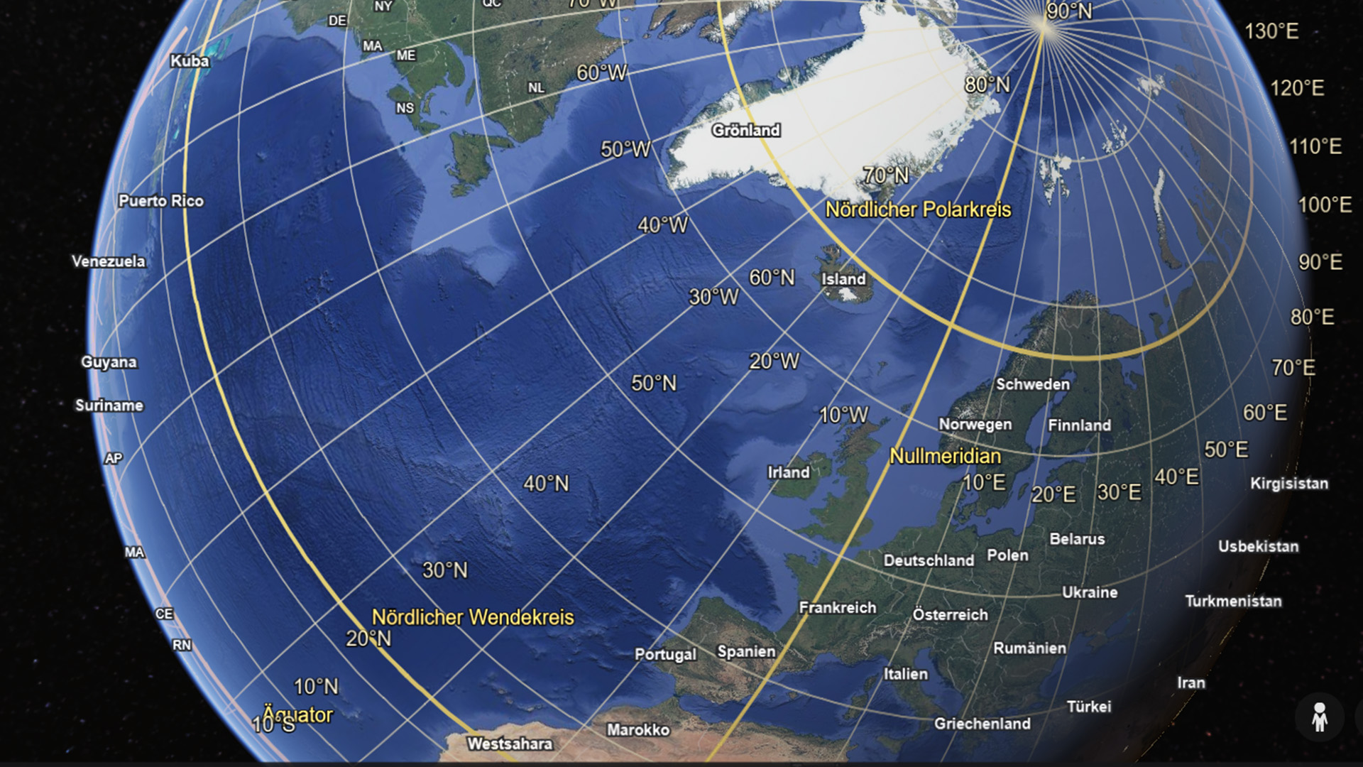
Curriculum-centred and oriented towards educational standards
Matching
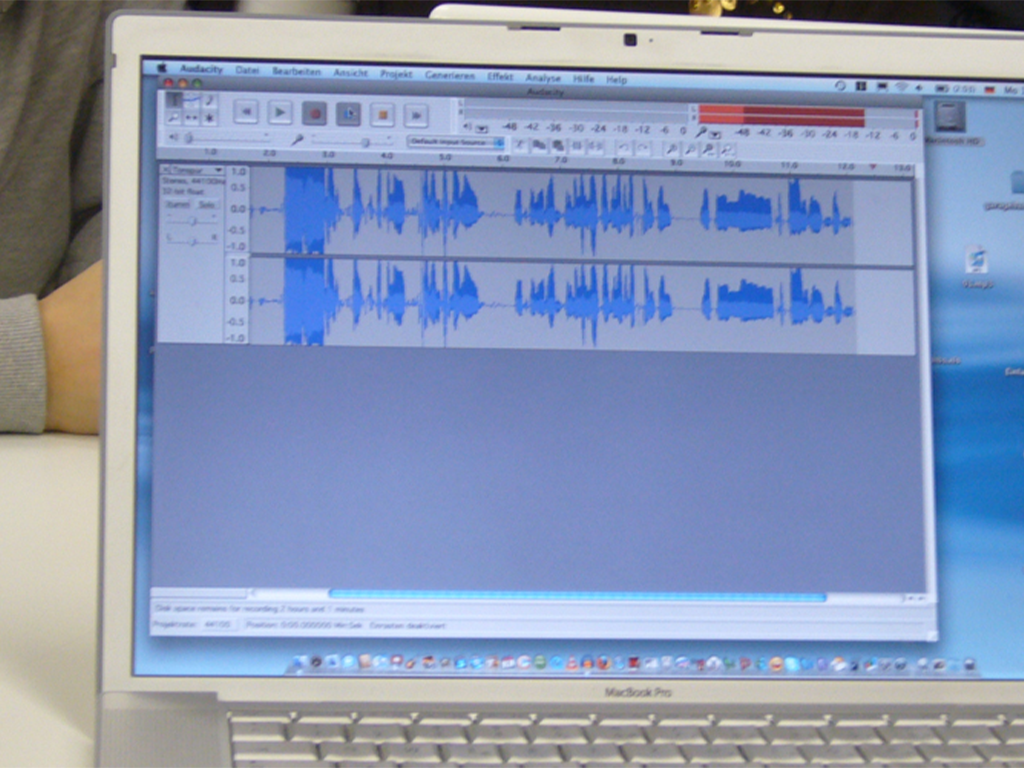
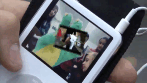
Podcasting
Today, the use of new media has become a matter of course not only in everyday life – schools and teaching, too, benefit from the new technologies and methods, which support active and independent learning. Especially in computer science, ethics and language courses but also in all other subjects, modern media are a valuable pedagogic and didactic asset. This DVD uses the example of podcasts to demonstrate how the possibilities opened up by new media can be applied in the classroom and how the pupils can be taught to handle them in a competent and target-oriented manner. The film is aimed at supporting the use of podcasts at school and encourages making them. This also requires the ability to find information on the Internet and assess it. The film informs on the functionality of podcasts and technical background as well as on the teaching and learning possibilities offered by podcasts – ranging from specific contents to superordinate learning targets such as the advancement of creativity and team spirit. The DVD is a useful support for teachers applying new media and wishing to show their pupils how to handle Running Time: 20:29 ms them in a sensible way.
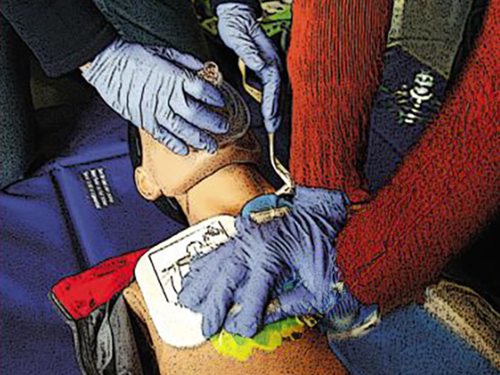
Resuscitation
It can happen to anyone – of any age, in any place, at any time. Sudden cardiac arrest may quickly prove fatal. Immediate action is called for! Just remember: Check Call Press Anyone can do it. You can't do anything wrong!
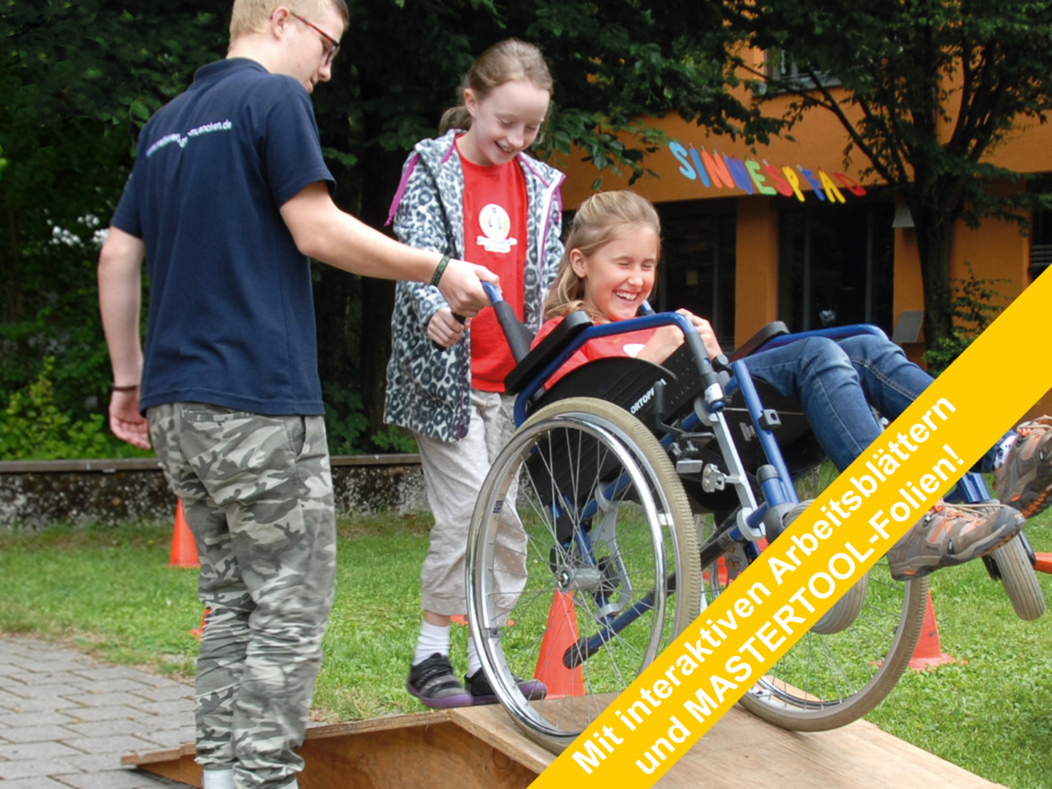
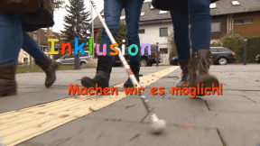
Inclusion
Madita is eleven and blind. She does not want to go to a special school but to a regular grammar school. She says she feels "normal" there. Jonathan is eight and has a walking disability. He likes going to the school where he lives. Here, his best friend sits next to him. Max Dimpflmeier, a teacher who is severely deaf, explains that school life is not easy. Quote Max Dimpflmeier: "You don't want to attract attention, you want to avoid saying that it is necessary for you that 70 people adjust to your situation." People on their way to inclusion.